Planning Applications
Design and software tool for planning applications
Most local authorities now encourage planning applications to be submitted online and as pdf files. Visual Building enables you to create the documentation and create as a pdf file to support your planning application.
More topics
- Navigation in 2D / 3D
- Create Floor Plans
- Windows and doors
- Insert stairs
- Copy Floors
- Roof Construction
- Building Plans
- Section views
- Elevation views
- 3D Floor Plans
- Become a 3D Architect
- Loft conversion
- Fire Escape Plans
- 2D Symbols
- House Plan Layout
- 3D Constructions
- Home Design Software
- Using 3D Objects
- Using Textures
- Material properties
- 3D Visualization
- Timber frame
Planning Applications Site Plan
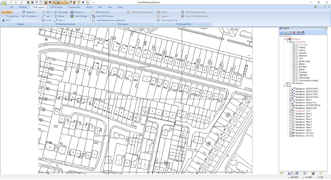
Your planning application must include a Site Plan. The purpose of the Site Plan is to help identify the property and its exact location. This can be achieved by including an appropriate map file obtained from Ordnance Survey or one of their OS Mapping and Data agents. The use of these Ordnance Survey maps are restricted by copyright and photocopied maps are prohibited. There are some rare cases where an Ordnance Survey map is not yet available, for example when adding a conservatory to a new house, and if so a developer’s plan may be accepted in place of an Ordnance Survey map, but in most case, non Ordnance Survey maps will not be accepted.
When you have obtained your Site Plan as a DXF file, you can import it into Visual Building (PRO and Premium versions only) and indicate the following details concerning your planning application:
- Site boundary (normally the property boundary) in red.
- Adjacent owned land by the applicant is outlined in blue.
- Indication of new conservatory or extension.
Note that the Site Plan is not the same as a Site Layout Plan.
Example on the right: 1250:1 dxf Siteplan, copyright Ordnance Survey
Reproduced with kind permission of Ordnance Survey.
Reproduced with kind permission of Ordnance Survey.
Other Planning Applications Drawings
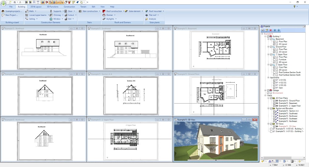
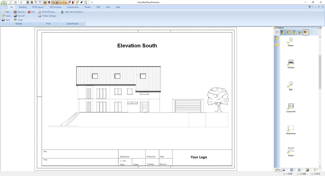
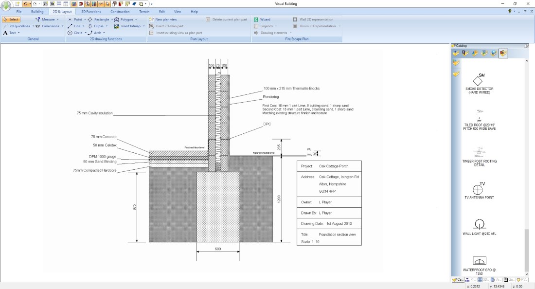
Visual Building allows you to create all sorts of required drawings and use them together with the other Planning Applications documentation.
In addition to the Site Plans already mentioned above, this includes:
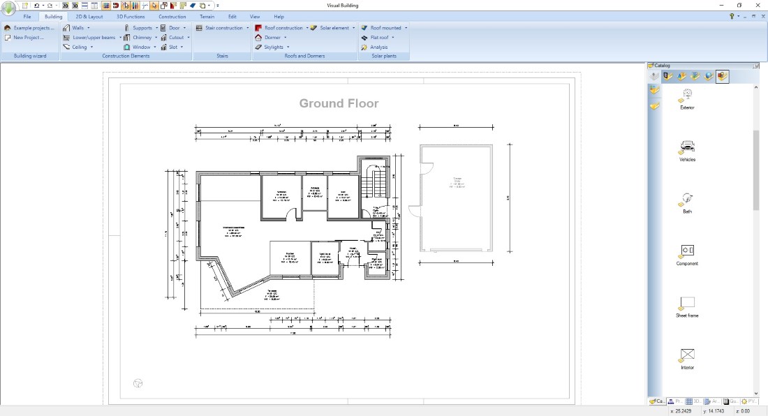
- Floor plans
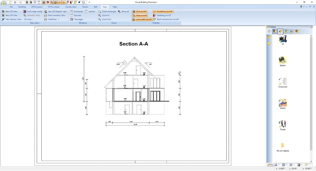
- Section views
- Elevation views
- Detail drawings
In addition to the Site Plans already mentioned above, this includes:
- Floor plans
- Section views
- Elevation views
- Detail drawings
For more information, see the Building Plans page
Visual Building Basic
Has been developed as an easy to use design and visualisation tool for self builder,extentions..
£60.00
List price
List price
£39.00
Special online offer
Special online offer
Visual Building PRO

Used by all user groups specifically to create professional plans...
£120.00
List price
List price
£99.00
Special online offer
Special online offer
Visual Building Premium

Our most powerful design and visualisation tool specifically created for ...
£180.00
List price
List price
£149.00
Special online offer
Special online offer

